Learning from the City: Unismuh Architecture Students Explore Digital Scanning Technology at the Makassar Icon.
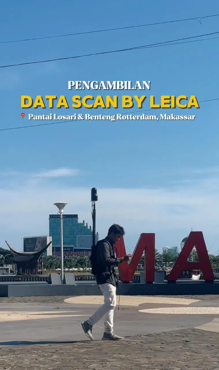
TEKNIK.UNISMUH.AC.ID — Students of the Architecture Study Program, Faculty of Engineering, Universitas Muhammadiyah Makassar, conducted a data scanning practice activity in the Losari Beach and Rotterdam Fort areas on May 11, 2026, in collaboration with Leica Geosystems. This field activity is part of practice-based learning to introduce students to digital mapping technology, which is increasingly important in the architecture and area planning industries.
In the implementation, students gained direct experience using modern scanning devices to document the area conditions in detail. They learned the work stages, starting from equipment preparation, determination of scanning points, to the data collection process, which requires precision and team coordination.
The selection of the Losari Beach and Rotterdam Fort locations provided a rich learning context, as both areas have high historical, cultural, and public space values. This helped students understand how digital scanning technology can be used to support documentation, conservation, and planning of historic areas and urban spaces.
This activity also strengthened the connection between the theories learned in the classroom and professional practices in the field. Students not only learned the technical aspects of using equipment but also honed their collaboration skills, discipline, and understanding of industry standards.
Through this field experience, the Faculty of Engineering, Unismuh Makassar, continues to promote adaptive learning to technological developments. It is expected that this activity can increase student competence, making them more prepared to face the challenges of the architectural work world in the digital transformation era.